See photos (3)
                    
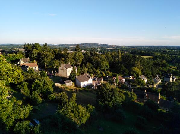
                Circuit 4 DFT : Le Mont Margantin


                    Walks and hikes                    
                
                                                    in Avrilly
                            
            7.5
                        km
                    
                - Departure
 - Avrilly
 
- 
    
- 
                                Difference in height
 - 170.99 m
 
 - 
                                
 - 
    
- 
                                Documentation
 - GPX / KML files allow you to export the trail of your hike to your GPS (or other navigation tool)
 
 - 
                                
 
- See all reviews
 
- Points of interest
 
                        1


                                        - 171 meters of difference in height
 - 
                
- Start altitude : 179 m
 - End altitude : 179 m
 - Maximum altitude : 267 m
 - Minimum altitude : 159 m
 
- Total positive elevation : 171 m
 - Total negative elevation : -171 m
 - Max positive elevation : 49 m
 - Min positive elevation : -36 m
 
 
                        