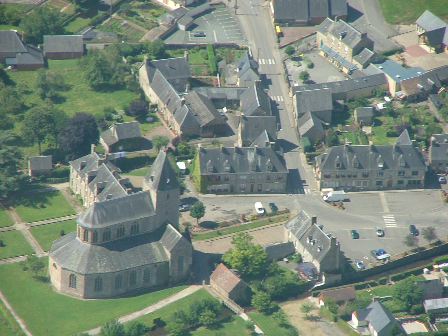
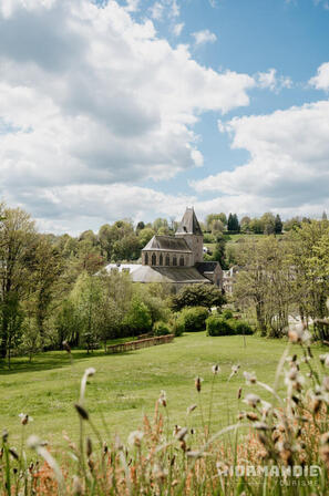
Circuit 8 DFT : La Boucle de l'Abbaye
Walks and hikes
in Domfront en Poiraie
13.0
km
Loop
- Departure
- Domfront en Poiraie
-
-
Difference in height
- 189.31 m
-
-
-
Documentation
- GPX / KML files allow you to export the trail of your hike to your GPS (or other navigation tool)
-
- See all reviews
- Points of interest
1

- 189 meters of difference in height
-
- Start altitude : 141 m
- End altitude : 141 m
- Maximum altitude : 269 m
- Minimum altitude : 141 m
- Total positive elevation : 189 m
- Total negative elevation : -189 m
- Max positive elevation : 64 m
- Min positive elevation : -45 m