Le Roi Arthur
Road cycling, Gravel
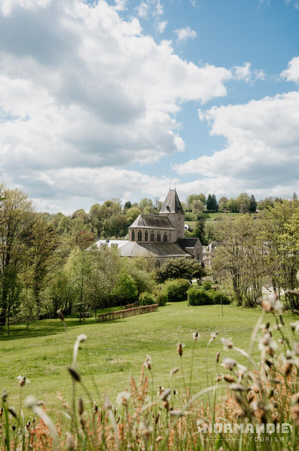
in Domfront en Poiraie
30.5
km
Loop
- Departure
- Domfront en Poiraie
-
-
Difference in height
- 369.9 m
-
-
-
Documentation
- GPX / KML files allow you to export the trail of your hike to your GPS (or other navigation tool)
-
- See all reviews
- 370 meters of difference in height
-
- Start altitude : 138 m
- End altitude : 137 m
- Maximum altitude : 247 m
- Minimum altitude : 117 m
- Total positive elevation : 370 m
- Total negative elevation : -371 m
- Max positive elevation : 97 m
- Min positive elevation : -69 m