See photos (3)
Randonnée B3 : La Girardière
Walking/pedestrian
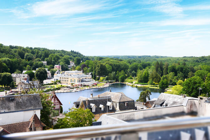
in Bagnoles de l'Orne Normandie
7.7
km
Loop
Walking/pedestrian
2h 30min
Easy
- Departure
- Bagnoles de l'Orne Normandie
-
-
Difference in height
- 131.93 m
-
-
-
Documentation
- GPX / KML files allow you to export the trail of your hike to your GPS (or other navigation tool)
-
- See all reviews
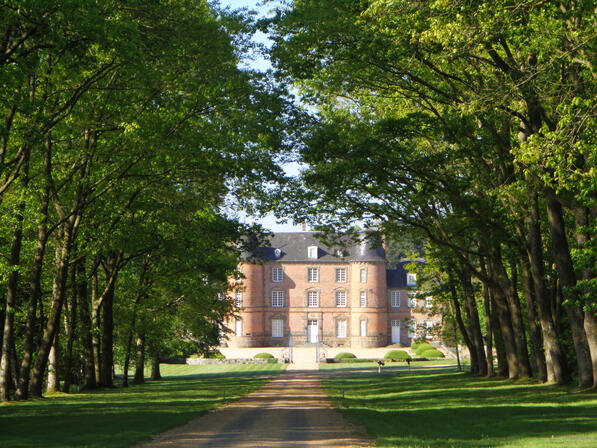
- Points of interest
1
2

3

4

5
6

- 132 meters of difference in height
-
- Start altitude : 195 m
- End altitude : 195 m
- Maximum altitude : 224 m
- Minimum altitude : 148 m
- Total positive elevation : 132 m
- Total negative elevation : -132 m
- Max positive elevation : 39 m
- Min positive elevation : -27 m