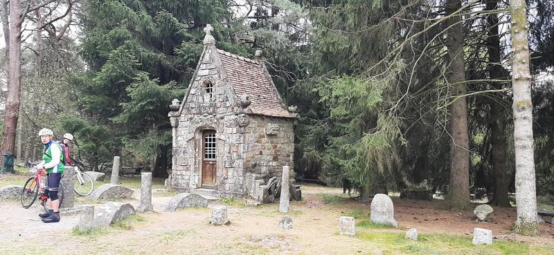
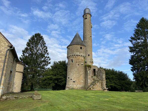
See photos (2)
Circuit 23 VTT : A l'Ouest de Bonvouloir
Mountain biking
in Bagnoles de l'Orne Normandie
16.8
km
Loop
- See all reviews
- Points of interest
1
2
- 278 meters of difference in height
-
- Start altitude : 213 m
- End altitude : 213 m
- Maximum altitude : 275 m
- Minimum altitude : 143 m
- Total positive elevation : 278 m
- Total negative elevation : -277 m
- Max positive elevation : 55 m
- Min positive elevation : -50 m