See photos (4)
Circuit 24 VTT : Etoile d'Andaine
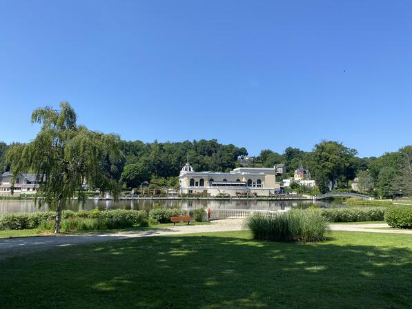
Mountain biking
in Bagnoles de l'Orne Normandie
31.7
km
Loop
- See all reviews
- Points of interest
1
2
3
4
5

6
- 431 meters of difference in height
-
- Start altitude : 196 m
- End altitude : 194 m
- Maximum altitude : 284 m
- Minimum altitude : 178 m
- Total positive elevation : 431 m
- Total negative elevation : -433 m
- Max positive elevation : 58 m
- Min positive elevation : -48 m