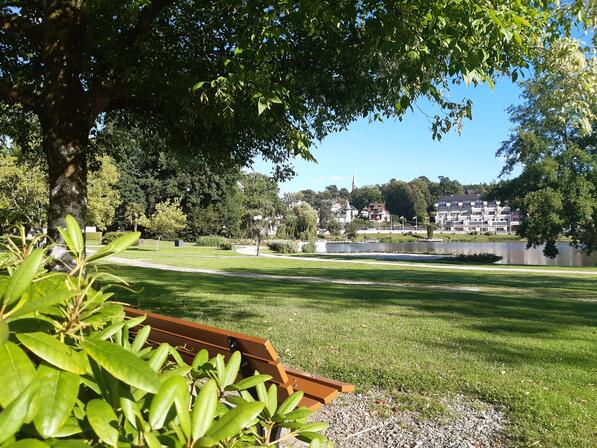
Circuit 25 VTT : L'Ermitage
Mountain biking
in Bagnoles de l'Orne Normandie
34.3
km
- See all reviews
- Points of interest
1
2

3
4
5

- 508 meters of difference in height
-
- Start altitude : 195 m
- End altitude : 194 m
- Maximum altitude : 304 m
- Minimum altitude : 181 m
- Total positive elevation : 508 m
- Total negative elevation : -509 m
- Max positive elevation : 43 m
- Min positive elevation : -39 m