See photos (5)
Randonnée B7 : La Ronde de l'Archange
Walking/pedestrian
in Saint-Michel-des-Andaines
20.2
km
Loop
Walking/pedestrian
5h
Hard
- Departure
- Saint-Michel-des-Andaines
-
-
Difference in height
- 251.23 m
-
-
-
Documentation
- GPX / KML files allow you to export the trail of your hike to your GPS (or other navigation tool)
-
- See all reviews
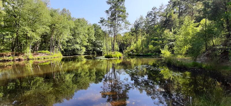
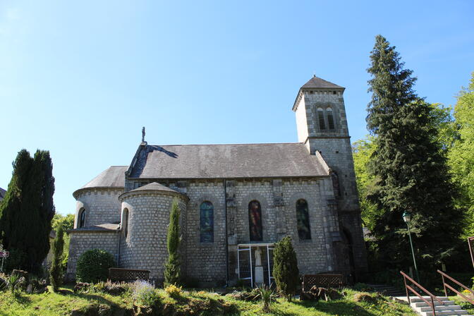
- Points of interest
1

2
3
4

5
6

7
8
9
10

- 251 meters of difference in height
-
- Start altitude : 191 m
- End altitude : 197 m
- Maximum altitude : 252 m
- Minimum altitude : 188 m
- Total positive elevation : 251 m
- Total negative elevation : -245 m
- Max positive elevation : 30 m
- Min positive elevation : -40 m